India Meteorological Department Warns of Developing Cyclone in Bay of Bengal and Western Disturbance Showers
The India Meteorological Department has issued warnings regarding a developing cyclonic storm over the Bay of Bengal and a separate Western Disturbance bringing rain and snow to northwest India.

- IMD forecasts a cyclonic storm over the Bay of Bengal around November 16.
- Fishermen advised to return to the coast by November 15 due to rough seas.
- Western Disturbance to bring rain and snowfall to northwest India and drop temperatures.
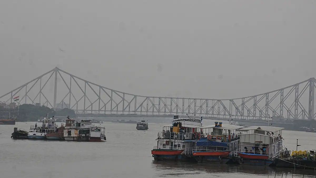
The India Meteorological Department announced on Saturday that a well-marked low-pressure area over the Southeast Bay of Bengal is projected to strengthen into a depression within a day. According to official bulletins, this weather system originated from an earlier low-pressure area tracked at 5:30 am on Saturday and is expected to shift north-northwestward.
Cyclone Development and Movement
Meteorologists indicate that the system will continue tracking toward the central parts of the South and Westcentral Bay of Bengal. It is forecast to intensify further into a cyclonic storm by the evening of November 16. This developing weather disturbance represents the third major system impacting the Bay of Bengal following cyclones Arnab and Murasu in October and November.
Marine Warnings and Wind Speeds
Authorities have issued stringent advisories for marine areas due to worsening sea conditions. Squally weather is anticipated across the Andaman Sea, the Andaman and Nicobar Islands, and extensive portions of the Bay of Bengal, accompanied by initial wind speeds of 60 kilometers per hour. Winds are projected to escalate to 80 kilometers per hour beginning November 17 and persist for two days.
Advisories for Fishermen
In response to the escalating marine risks, the meteorological agency urged all fishermen currently operating offshore to navigate back to coastal areas by November 15. Furthermore, maritime workers have been strictly instructed to avoid venturing into open waters throughout the duration of the weather warning period.
Impact on Odisha Coast
The developing weather phenomenon is anticipated to alter conditions along the coastline of Odisha. Manorama Mohanty, who leads the Meteorological Centre in Bhubaneswar, reported that dry conditions prevailed across the state on Saturday, but impacts are expected after four days. Coastal districts can anticipate scattered rainfall from November 14 to November 18.
Regional Rainfall and Thunderstorms
Isolated precipitation is expected across Mayurbhanj, Keonjhar, Angul, Dhenkanal, Boudh, Rayagada, Kandhamal, Koraput, and Malkangiri districts. These weather events may feature isolated thunderstorms, lightning strikes, and gusty winds reaching 40 to 50 kilometers per hour. Heavy rainfall is specifically projected for Ganjam, Gajapati, Puri, and Khordha districts on November 18.
Western Disturbance Activity
Concurrently, a Western Disturbance positioned over North Pakistan and adjacent territories is forecast to generate light to moderate rainfall and snowfall across the Western Himalayan zone on Saturday and Sunday. Scientist Naresh Kumar noted that Punjab, Haryana, and Rajasthan may also experience light precipitation alongside potential very light showers in Delhi-NCR on Sunday.
Temperature Fluctuations
Current temperatures across northwest India remain slightly elevated above normal ranges. However, meteorological projections indicate that regional temperatures, including those in the Delhi-NCR sector, will drop by 3 to 5 degrees Celsius starting November 16 once the Western Disturbance system dissipates and moves away from the area.
Historical Context of Recent Cyclones
Recent weeks have witnessed significant storm activity affecting the regional coastline. Cyclone Arnab made landfall near Narsapur on October 28 as a very severe storm featuring sustained winds of 125 to 135 kilometers per hour and gusts reaching 150 kilometers per hour, resulting in at least six fatalities.
Previous Storm Impacts
Additionally, Cyclone Murasu crossed the southern Andhra Pradesh coast near Ongole on November 3 as a severe cyclonic storm with winds of 100 to 110 kilometers per hour and gusts up to 120 kilometers per hour. The remnants of that system subsequently delivered extremely heavy rainfall to coastal Andhra Pradesh and Telangana on November 5.
- Wind speeds in the Bay of Bengal could reach 80 kmph from November 17.
- Odisha expects scattered rainfall and potential heavy downpours in specific districts by November 18.
- Temperatures in northwest India will fall by 3 to 5 degrees Celsius after November 16.
Spotted an error? · Our editorial policy
UP NEXTDadasaheb Phalke International Film Festival Awards 2026: Taylor Swift and James Cameron Among WinnersOther angles · #Bay of Bengal
Timeline →More from Environment
Delhi Records Season’s Coldest Morning as Air Quality Remains in ‘Poor’ Category
Delhi registers coldest morning of the season with temperature dipping to 11.6 degrees Celsius

Deep Depression Intensifies Into Cyclonic Storm Akvan Over Bay of Bengal